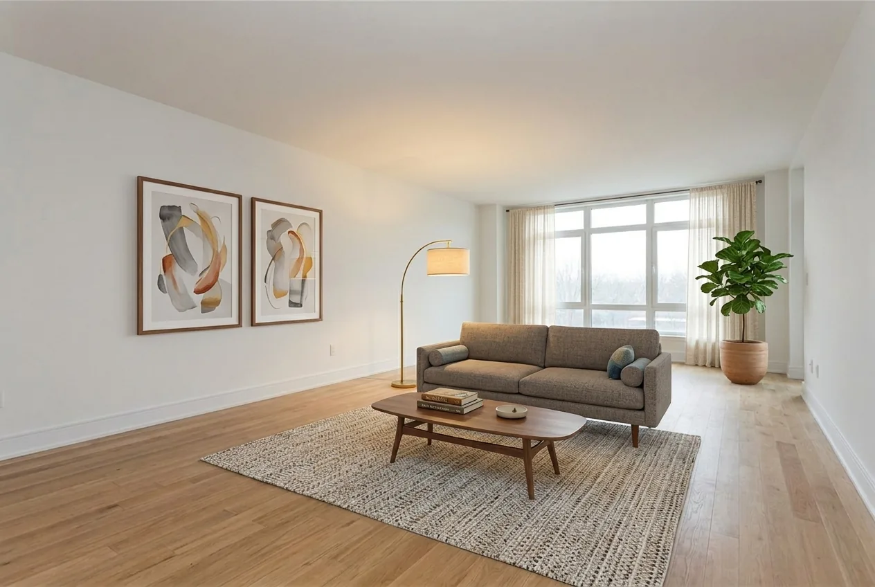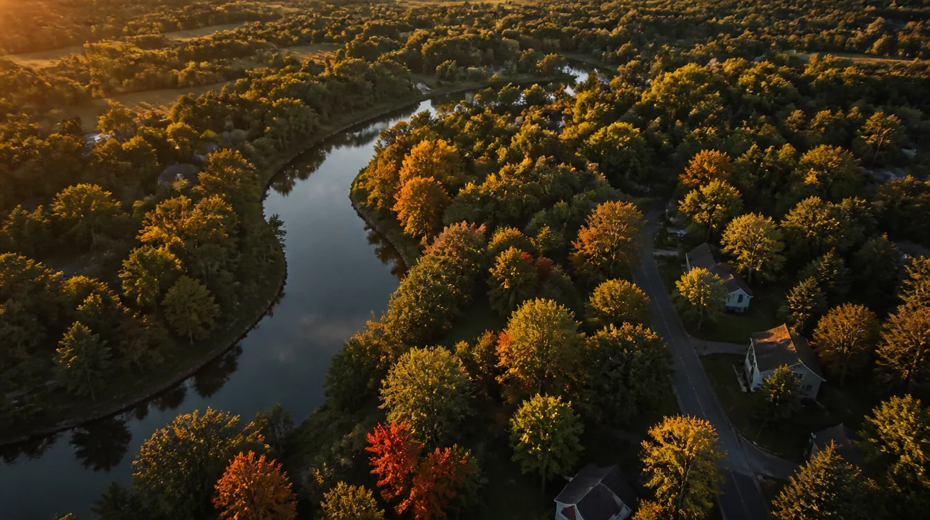
Aerial view at golden hour over a wooded upstate New York neighbourhood in early autumn, a river bend curving through the trees

NYONIC/Drone video and aerial photography

Aerial — A specialty, not an add-on

Aerial capture,
flown with a plan.

Height changes what a place is. A property reads as land instead of a house, a build site reads as progress, an event reads as scale. Aerial is its own discipline — airspace, weather, light, and knowing which three of the twenty possible shots are the ones worth flying.
Call (585) 524-8976 Or email me →

Most drone footage is one long, boring orbit.

Drones got cheap, so everyone bought one. What did not get cheap is knowing what to do once it is up there. The default output is a slow circle at 200 feet that tells a viewer nothing they could not have got from the address.

Good aerial work is a small number of deliberate moves — a reveal that shows how a property actually sits on its lot, a rise that puts a building in its neighbourhood, a low fast pass that gives a place energy. Every one of those is a decision made before the battery goes in.

The flying is the easy part. Planning the airspace, reading the light and knowing which shots earn their place in the cut is the job you are actually hiring.

What aerial is actually for

Real estate
Lot lines, land, and how a property sits on its street
Construction
Site progress, shot from the same position each month
Events
Scale and crowd, which ground cameras cannot show
Brand film
Establishing shots that place a business somewhere real

How it works

Three steps, weather permitting.

We plan the flight

Location, airspace, light and the specific shots worth flying. If the site needs authorization, that request goes in ahead of the shoot day, not on it.

We fly it

Stills and motion from the same window, scheduled for the light the location actually looks best in.

You get both

Graded clips and full-resolution stills, in the ratios you publish. Matched to ground footage if we shot that too.

What you get

  • A shot list agreed before the flight, built around what the location has to communicate — not whatever looked good on the day
  • Stills and motion from the same flight, so aerial photos for the listing and clips for video cost you one visit instead of two
  • Full-resolution stills and graded video, delivered in the ratios you actually publish
  • Flown under an FAA Part 107 Remote Pilot certificate — the rule that governs paid drone work in the US, so the footage is legal to use commercially
  • Airspace checked against the location before quoting; where a site needs authorization, the request goes in ahead of the shoot day
  • Light scheduled deliberately — golden hour treated as the plan rather than a bonus if it happens
  • Aerial that cuts cleanly against ground footage, matched in camera and in colour, if you are shooting both

Cover image is an illustration produced in-studio, not a client deliverable. Aerial work I have flown is available on request.

Delivered

Pilot
FAA Part 107 certificated — legal for commercial use
Stills
Full-resolution aerial photos for listings, print and site use
Motion
Graded clips in 16:9 and 9:16
Planning
Airspace checked, and authorization requested where required
Backup
A second date held for anything weather-dependent

Pricing

Every project is quoted.

Aerial pricing comes down to where it is, what you need out of it, and how tight the timing is. Send me an address and I will check the first one before quoting the rest.

Factor 01
Site
where it is and what the airspace allows

Some locations are a fifteen-minute setup. Others sit under controlled airspace and need authorization requested in advance. That planning time is the honest reason two identical-looking jobs price differently.

Factor 02
Output
stills, motion, or both

An aerial photo set for a listing and a graded sequence that has to intercut with ground footage are very different amounts of post.

Factor 03
Window
how tight the timing is

Golden hour on one specific date, with a weather backup held, costs more to guarantee than “sometime next week.” Flexibility is genuinely cheaper.

No published rate card, because a rate card either overcharges the small job or underprices the big one. Email me the scope or call and you will have a number, not a meeting.

Questions

Before you get in touch.

Are you licensed to fly commercially?

Yes. I hold an FAA Part 107 Remote Pilot certificate, which is the rule that governs paid drone work in the United States. It matters to you for two reasons: the footage is legal to use commercially, and a certificated pilot is the one who can request authorization to fly in controlled airspace rather than simply having to avoid it. If you need to see the certificate before a shoot, ask and I will send it.

What do people use aerial for most?

Real estate and land listings, construction and site progress, events, and establishing shots for brand video. Anything where the story is about where a thing sits, not only what it looks like up close.

Can you fly anywhere?

No, and anyone who says yes is guessing. Controlled airspace near airports, restricted areas and certain events either require authorization or are simply off limits. I check the location before quoting, so you are not finding out on the shoot day.

What happens if the weather is bad?

We reschedule. Wind and rain are the two things that genuinely stop a flight, and flying in marginal conditions produces footage you would not end up using. For anything time-sensitive I build a backup date into the schedule from the start.

Do I get photos as well as video?

Yes, and you should take both. The same flight produces both, so adding stills to a video job costs very little on top.

Is this only worth it for big properties?

No. A standard suburban lot benefits as much as an estate, because what aerial does best is show context — the yard, the street, the trees, how the house actually sits on its land. Most listings never show any of that.

Can aerial cut together with ground footage?

Yes, and it should. If I am shooting both, they are matched in camera and in colour so the edit does not visibly change hands halfway through.

Send me the address.

I will check the airspace, tell you honestly what is possible at that location, and quote it before you commit to anything.

(585) 524-8976

or jason@nyonic.com

Also from NYONIC

Aerial view of a luxury Pittsford property at golden hourTourFrameListing toursCinematic walkthroughs from MLS photos. From $199.See listing tours →A single-property listing website for a Pittsford colonialPropertyFrameListing websitesOne property, its own site, live in 24 hours. From $249.See listing websites →A living room after virtual stagingListingLiftVirtual stagingVacant rooms furnished from your listing photos. From $24 a photo.See virtual staging →